 |
| Madlum cave entrance when your coming from Mt. Manalmon. |
Mt.Manalmon part of the historical Biak-na-Bato National Park in San Miguel, Bulacan, was the second mountain I conquered, weeee!
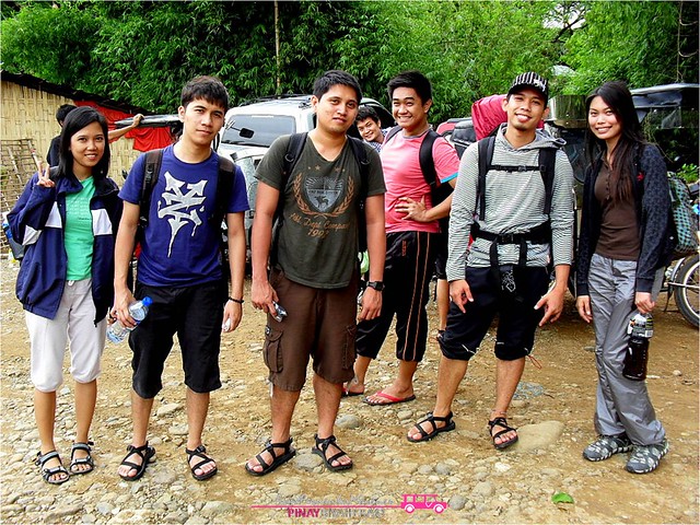 |
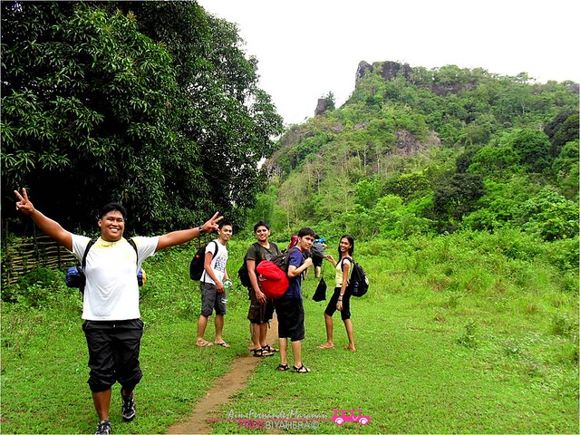
| My newly gained friends from my Bf's friend(beside me). |
From Cubao, we took Cabanatuan-bound bus to Brgy. Kamias San Miguel, Bulacan (Five Star busterminal near Cubao MRT station) P114/person. From there, we took tricycle to dusty road leading to jump-off, Brgy Madlum for P200/tricycle which is approx. 45mins. Don’t worry it’s really worth it.
BTW, there’s a mini market about 15 mins away from the jump-off, drop there if want to buy something. On the other hand, if you want to be fetch after your hike, you can just tell your tricycle driver and have their numbers.
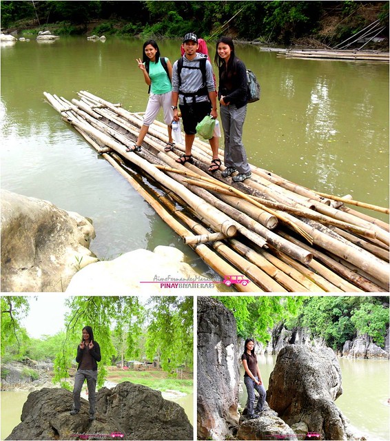 |
| To start your trek, you have to ride a "Balsa" or bamboo raft to cross the Madlum river (above). After crossing, huge limestone rocks will greet you. I was standing on huge rock with jumpoff as my background, we were we came from after crossing river (lower left). Site where monkey bridge was suspended (lower right). |
From the jump-off, just ask the locals for a guide (P60/person) who’ll take you to the mountain’s summit. The trek started by crossing the Madlum River via balsa (free for hikers) or Monkey Bridge (free) if you want.
After crossing the River and taking pictures of limestones there, we passed by a station-of-the-cross-like area then the Madlum Cave. Be careful because its really slippery. Stones are not just ordinary stones, they are marble!
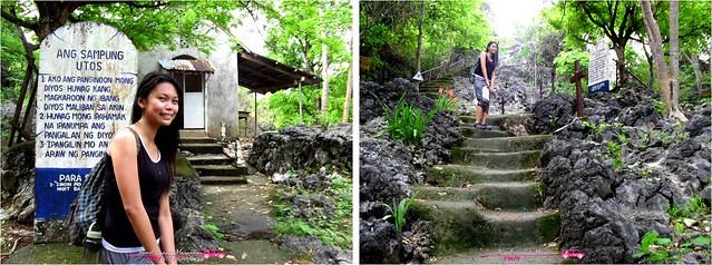 |
| Passed mini chapel (left) and climb the stairs of station of the cross to the Madlum cave entrance. |
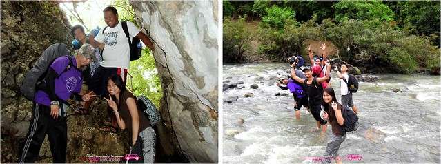 |
| Entrance to Madulum cave (left). Crossed two segments of Madlum River (right) |
 |
| Bushy and muddy area, trek to summit. |
After that, you’ll pass bushy areas and other side of the Madlum River. In the trek, you will notice a boulder in the middle of the way. If you decided to go to Mt. Manalmon’s summit, you turn right but if you want to go to Gola’s you turn left.
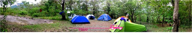 |
| The Campsite. The cemented-like (start of rock part of the summit) path on the left leads to summit. |
After 3 hours of trekking, campsite surprised me, a beginner, that the summit was just 5 meters away from the campsite as to compare to other mountains we already climbed.
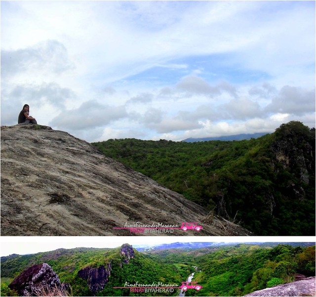 |
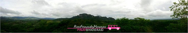
| Panoramic view at the summit. |
The view at the peak was so amazing. Majority of it is a huge rock, the only ordinary rock I noticed in the whole area, not a marble nor sedimentary rock. From the top, you’ll notice how Madulum River run beside the mountain. Likewise, the surrounding mountains like Mt.Gola, Mt. Arayat and Mt. Buntis.saying hello.
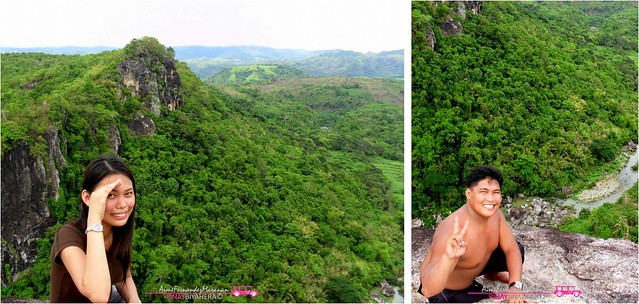 |
| Mt. Gola (left). Madlum River (right) |
Here's another interesting part at Mt. Manalmon's summit, a certain point where cliff is just one step behind. From here, you'll get a perfect backdrop of the Madlum river and Mt. Gola.
 |
| Mt. Buntis view from zenith. |
 |
March 29, 2011:
Yey, this was my 2nd mountain to conquer. It's an easy climb, fit for beginners like me. Trail was ok, and i haven't notice any trash along, good points for the guides and locals who're taking care of the mountain! Ooops I also we had spelunking experience on Madlum Caves, traversed monkey bridge, zipline and swam on the river after the hike!
|


0 comments