 |
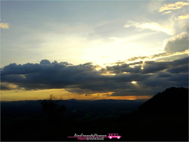
| Sun was setting from the slopes of the Mt. Talamitam. |
Hiking two mountains in one day was really a challenge. So after hiking Mt. Gulugod Baboy, we went to our next stop, Mt. Talamitam at Nasugbu Batangas.
Several months ago, I noticed this mountain viewed from Kaytitinga I, Alfonso Cavite, I already started mountain climbing that time, and asked my BF, a kinda resident there if it's possible to climb that "unknown mountain" for me back then. Well, most of them, the locals said that there are lots NPAs hiding on that beautiful mountain from afar.
Upon browsing the internet for mountains near Cavite for our 2nd half climb, which are in Laguna and Batangas, I found Talamitam. At first we were thinking where at Batangas this could possibly be, because all I knew was Batulao and that "unknown mountain" that were nearest.
Two hours of travel from Mt. Gulugod Baboy at Mabini Batangas, we finally reached Nasugbu. Upon entrance we turned left and reached Brgy. Aga for 5 mins, then Sitio Bayabasan. You can identify jump-off going to the mountain by simply finding Bayabasan Elementary School on the right side of the road and beside of that is a cemented path going to the registration area and straight ahead to the mountain.
 |
| River on the far right of the trail to Mt. Talamitam. |
Because we had our car that time, we look for a place where we can park it, however we don't want to left it at the road side so we decided to enter that cemented path and look for a good one. The way was cemented at first but it was cut by a rough road but still we didn't stopped yet until reached the road limit and parked beside a fenced house and continued our journey. After few walks we reached a brgy. hall-like beside residences and registered for P35 each, day or night hike and headed straight ahead. As we continue our trail, I heard and noticed this river along.
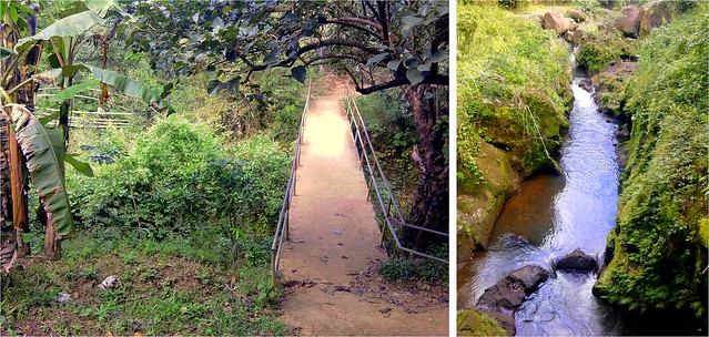 |
| The bridges (left) and the river under it (right) which is the continuation of the river beside the trail. |
After a couple of minutes of walk, we reached the two bridges that we had crossed. I was curious about the river and asked if it's possible to freshen up there, my first question back to the registration area. The caretaker say's that they prohibit anyone to go down the river because there females died there last year at a certain part they called "bilog". So I didn't insist anymore and just took a photo it (right).
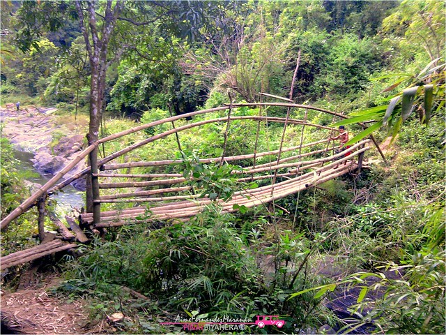 |
| This is the second bridge to cross, just beside the first one. |
After crossing the bridges, we experienced forested area for almost 30-45 minute walk and then exit to grasslands. From there we totally felt the burst of sun's heat with no chance of hidding from it. I also notice the cows and horses were getting more and more in number each meter lapsed. They were everywhere and they mooooo very hard that made me scared and made me think they were mad!
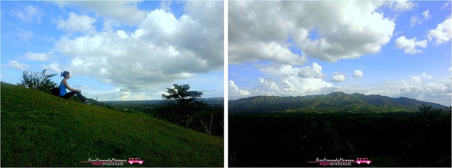 |
| Resting while enjoying Mt. Batulao's view. |
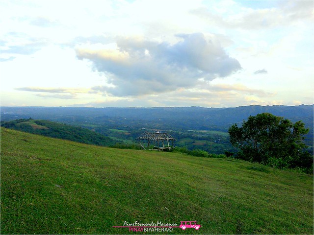 |
| Unshaded shade, just a skeleton. :) |
The unshaded hut, but still a help in spite of intense sunlight, a resting spot. From here you can view the Talamitam's perfect landscape for the first time. When we reached this, I found perfect resting place, I can sit well and has a little shade where I can rest my skin from outrageous sunlight through the bamboo frame..haha
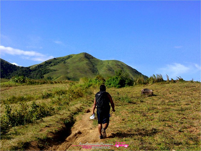 |
| Heading mountain's peak along crops land areas. |
Trail was not well defined because of plenty crop fields around the area. Moreover gangster cows and horse are everywhere that we tend to walk distant from them and try other paths to reach the foot of the mountain. In short we made our own trail just to walk away from them, it's not hard to locate the trail to summit anyway. If you think you are lost, just look at the mountain, and walk straight ahead! hehe...seriously! :D
From the mountain's foot, 3 trails going to the summit are visible. If you are going to measure the distance of 3 different trails viewed from the grasslands, you will definitely choose the left one which directed straight ahead to the summit.
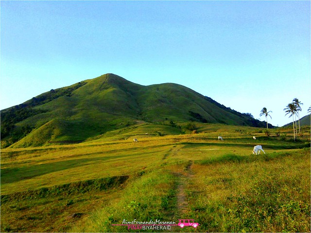 |
| Mt. Talamitam landscape. |
After deciding which trail was the best, we took the left trail expecting to reach the top in shorter time without realizing that it is steeper and slippery because of rocks(unticed from afar). Well, after 1 hour of hike from mountain's base, 2 hours in total from the jump-off, we reached the zenith of Mt. Talamitam.
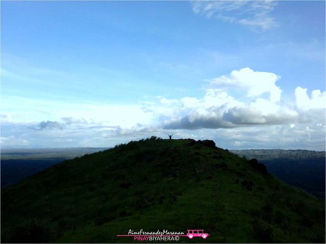 |
| My solo shot at the summit. |
I was surprised because there's no one at the peak, just the two of us, me and my bf which was totally nice experience. We were comfortable resting and taking pictures anywhere, anything we want. It was like we owned the mountain.
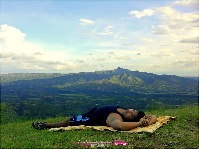 |
| Mt. Batulao viewed from the peak. |
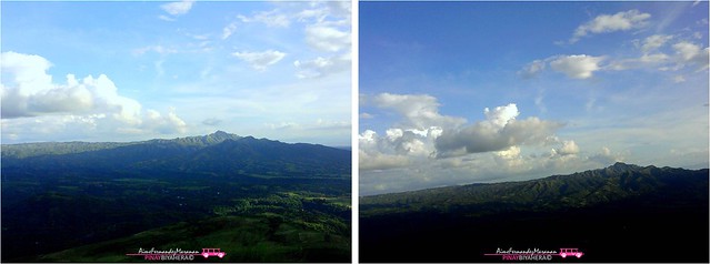 |
| More Batulao shots, My first ever mountain to climb. |
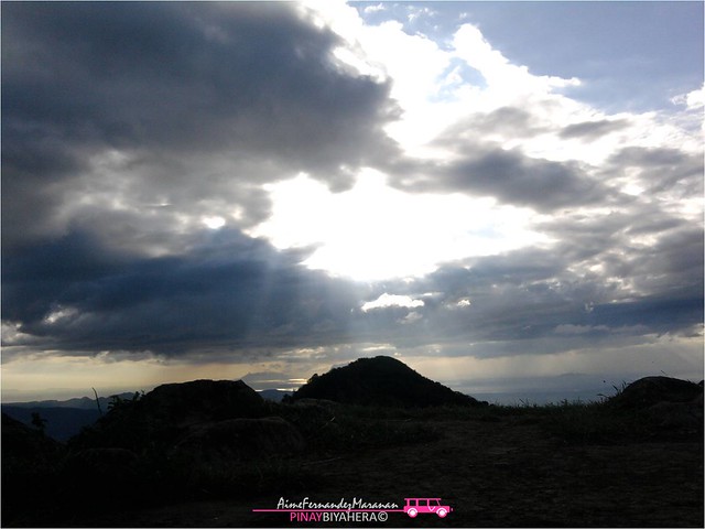 |
| This scene was amazing, it was like Jesus Christ will descend from clouds. |
We met a cow shepperd guy at the bamboo shade I mentioned awhile ago in our ascent and he said that temperature at the summit would be totally cold in contrast to what we felt the moment we stepped on the summit. It was like slightly cold temperature but was totally shaded, which amazed me because there were no clouds in our area, they were just around the summit.
 |
| Mt. Batulao on the left. |
 |
| Batulao on the right. |
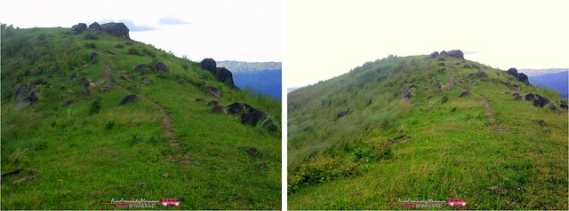 |
| Rocky summit. |
With curiosity what the whole area was like, I walked distant from the summit where you can pitch some tents, about 5 and took pictures. To avoid night trek in our descent, after 45 minutes stay at the summit, we took the left (middle if viewed from grass land) path for our descent to experience other trail and avoid that steep and slippery way we went in our ascent.
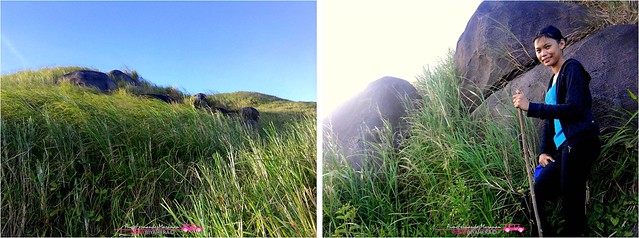 |
| Grasses as tall as a person on the middle trail which we tried in our descent (left). Huge boulders along the trail (right). |
Compared to our first trail, path was covered by tall grasses as high as a human and long walk but not steep as the first one we took, perfect for descent. Also, rocks and huge boulders were greatly viewed from here.
 |
| Captured sunset. |
Because of fear of benight at trails and possibility of getting lost from branched trails, I haven't had a chance to catch sunset at the summit. When we reached the grasslands and turn our backs to the mountain, I finally saw the mesmerizing sun setting from the right side of the mountain.
 |
November 30, 2011: We did two day hikes in one day, just the two of us (me and my bf). Because it was holiday, "Bonifacio day" it fells on a weekday that made summit unpopulated. We owned the mountain that day! That was our 6th mountain and I'm very happy for that and I just started to fall in love with mountain climbing and hoping to conquer more! :) |


0 comments